How Mapify is transforming emergency response for Cívicos Bogotá
September 25, 2024
Nuri Shahzad
.webp)
Technology can drive meaningful change, especially for nonprofits. To support these efforts, Mapify offers Nongovernmental Organizations (NGOs) free access to its Starter Plan, which includes all the features of the Professional Plan. With its no-code platform, nonprofits can easily build solutions for tasks like mapping data, automating workflows, or integrating APIs, allowing them to stay focused on their mission. Plus, being hosted on Google Cloud infrastructure, Mapify ensures top performance and security.
Many NGOs, like APCV (Asociación de Profesionales Cívicos Voluntarios) from Colombia, operate with limited resources but have an unlimited drive to help their communities. Mapify’s easy-to-use tools and real-time data capabilities can empower these organizations to do more with less.
The Need for Real-Time Coordination
APCV, a volunteer-led nonprofit based in Bogotá, Colombia, is dedicated to responding to emergencies such as traffic accidents, fires, and other urgent incidents. With volunteers spread across the city, coordinating efforts in real time has always been a challenge. APCV teams, called Apoyos, organize shifts, share locations via WhatsApp, and coordinate with dispatchers using radio. However, fragmented communication, slow navigation, and difficulty tracking volunteers in real time made the process difficult.
"Before Mapify, our systems for tracking incidents and first responders were mostly manual, relying on Google Sheets and radio communications. This made our response times slower and less efficient, as we depended on external apps like Waze for incident reports and WhatsApp for sharing live locations. Coordinating and visualizing the locations of incidents and responders in real time was challenging, which hindered our ability to manage multiple emergencies effectively."
Jorge Vargas, APCV volunteer
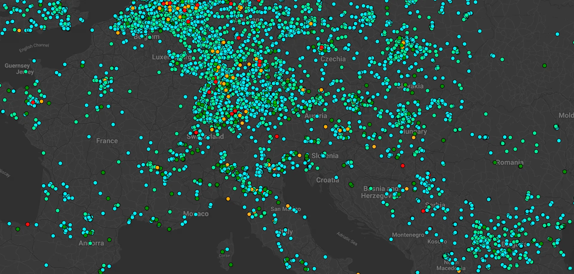
When APCV approached Focus BC about using Mapify, their goal was to track car accidents reported through Waze more efficiently. With access to Mapify’s free trial, tutorials, and easy-to-follow documentation, APCV quickly started using the platform independently. At first, they only integrated Waze’s API into Mapify to visualize incidents on a map. This allowed dispatchers to monitor live reports and communicate seamlessly with volunteer teams. Volunteers could then use Google Maps or Waze for real-time navigation to the scene.
"Mapify has greatly streamlined our response process. First responders can now automatically view new incidents on a custom map, ensuring they receive critical information in real-time. They can navigate to incident locations with a single click using Waze or Google Maps. Dispatchers can also monitor and coordinate operations more efficiently by tracking each unit’s location and status in real-time, significantly improving both response times and overall operational effectiveness."
Jorge Vargas, APCV volunteer

APCV leveraged the support of the Mapify team by describing their specific operational challenges. In response, the Mapify team stepped in to assist, enhancing their incident response solution and associated workflows.
Here’s how we enhanced APCV’s workflow:
- Enhanced Volunteer Navigation: We built upon the work APCV had already done with Mapify and Waze by introducing a direct link that automatically pulled coordinates and provided directions via Google Maps. This made it easier for volunteers to quickly navigate to incident locations.
- Incident Synchronization App: We developed an app that synchronized all incidents logged in a Google Sheet with Mapify. When the dispatcher added a new incident, including details like incident ID, responsible radio operator, type of incident, and coordinates, it would automatically appear on Mapify with the correct location. This allowed the dispatcher to easily visualize incidents across the city and manage volunteers more efficiently. By syncing both Waze-reported and manually entered incidents, the dispatcher had real-time access to all active incidents for seamless tracking and management.
- Centralized Volunteer Teams Tracking: To streamline volunteer coordination, we developed a solution that allowed the dispatcher to monitor volunteers without relying on WhatsApp location sharing. This web app enabled volunteers to log in, select their assigned support team, share their live location on Mapify, and update their status during shifts. Volunteers could announce their arrival at the scene, and the dispatcher could monitor both incident locations and volunteer positions in real-time, all through Mapify. This centralized system greatly improved coordination and visibility for both dispatchers and volunteers.
.webp)
.webp)
With these improvements, APCV has transformed its operations. Volunteers now report that the system they’ve built with Mapify has made their shifts more manageable and improved response times. As APCV continues to optimize its processes, volunteers are learning how to use Mapify alongside other essential tools, ensuring they are fully equipped to respond effectively.

This project was made even more special through the collaboration between Focus BC and JUNITEC, a junior enterprise where Tomás Pedrosa, our summer intern, contributed his expertise. Tomás played a key role in assisting the APCV Volunteer Group, helping to enhance and streamline their daily operations by implementing simple, user-friendly technology through Mapify. This partnership brought together innovation and teamwork, demonstrating how a collective effort can create impactful solutions for real-world challenges.
Ready to streamline your operations and make a greater impact? Whether you’re an NGO or a startup, Mapify’s no-code platform helps you build custom solutions for real-time tracking and automation. Click here to start your free trial 👉 mapify.ai/trial