Real-time vehicle and cargo tracking using Mapify
November 9, 2023
Ana Guerra
Real-time data integration with IoT sensors, coupled with no-code workflow building, has been Mapify's core strength. This article delves into how Mapify's features enhance logistics and supply chain management effortlessly, and without coding. Let's explore these capabilities with examples.
Real-time Vehicle and Cargo Tracking
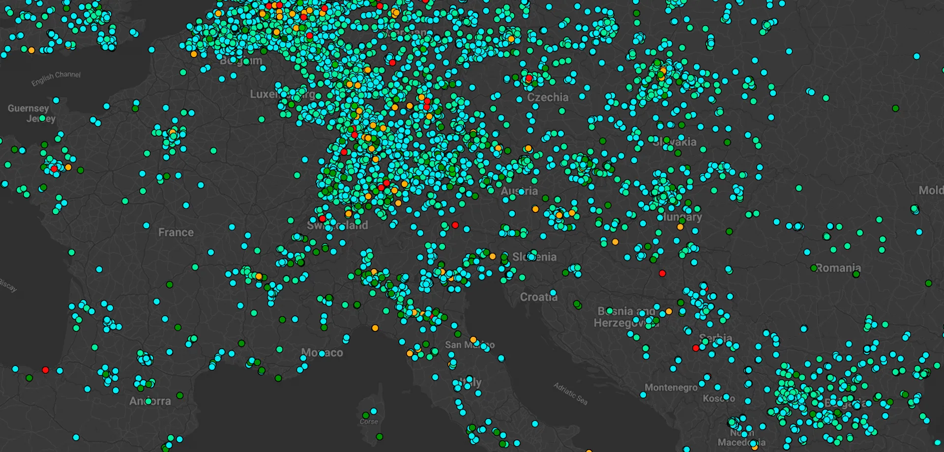
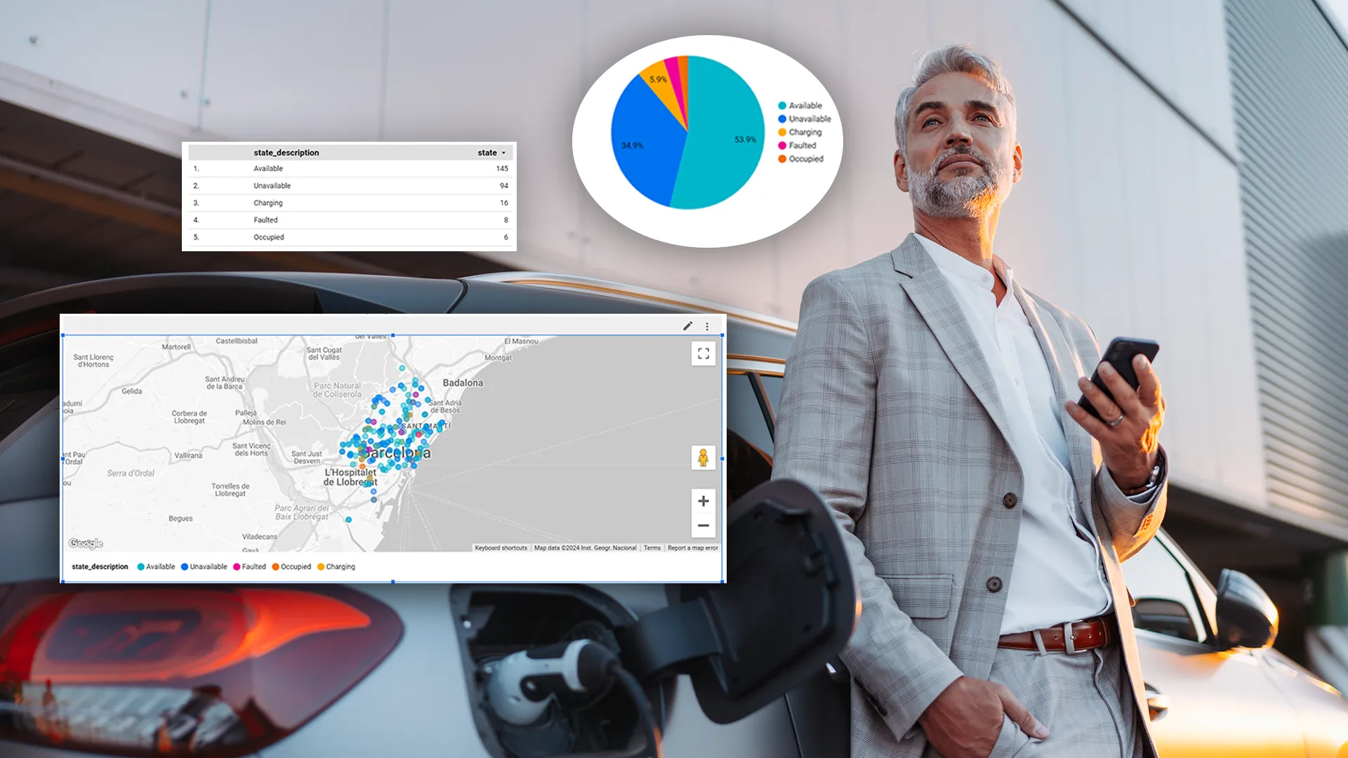
Mapify provides instantaneous insights into your vehicle fleet's location and status. Data like latitude, longitude, and speed are tracked in real-time and displayed on a Google-based map. Additional sensor data, including static information like ID or License Plate, can be integrated as. This extends to cargo management, monitoring aspects like temperature and weight distribution.


Sensor Value Alerts
Mapify's alert system, combined with real-time notifications for sensor value changes, offers a comprehensive overview of on-road operations. These alerts facilitate swift responses to potential issues, preventing damages and saving companies significant costs. For instance, if the temperature exceeds a defined level, Mapify can trigger SMS or email notifications or report the issue to an internal tool, with real-time color changes on the map.

Parking Slot Availability
Setting up parking lots and spots on Mapify is simple—just draw directly on the map. Spots can be marked as free or occupied, represented by colors based on vehicle sensor data. This feature empowers companies to manage parking with accurate real-time information.

In June, we conducted a webinar, "The digital transformation of Logistics with Mapify," showcasing these capabilities and offering a sneak peek into the Mapify console.
Check out the webinar video 👇
Sign up for our trial and experience seamless real-time vehicle and cargo tracking, sensor value alerts, and easy parking slot management. Yep, without a single line of code.


.webp)


